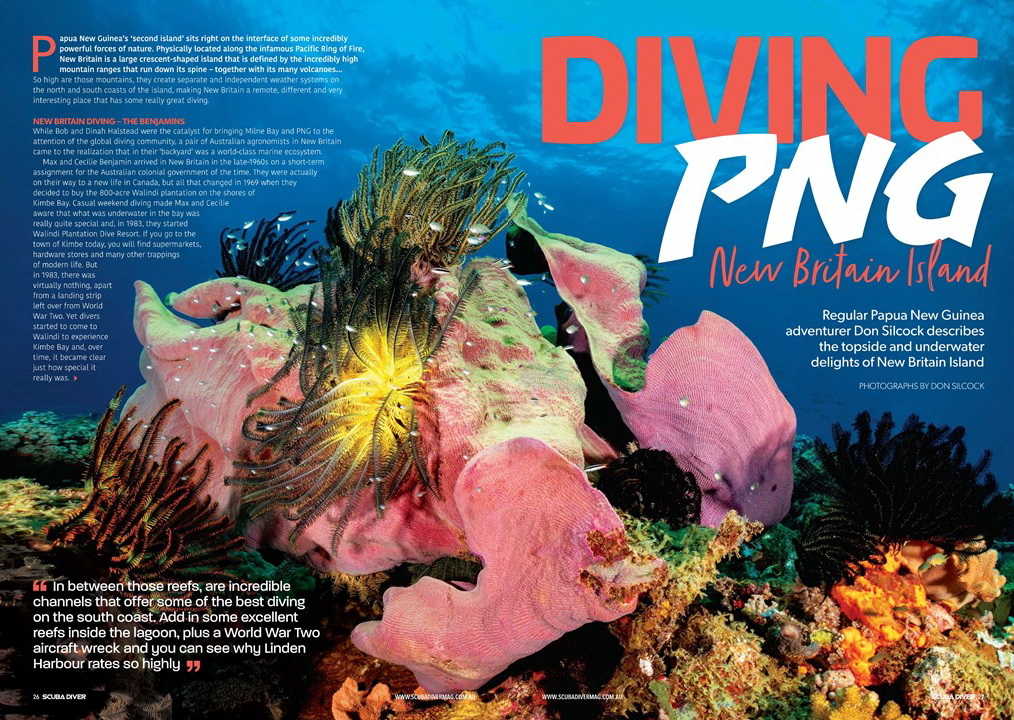
Diving New Britain Island… Papua New Guinea’s “second island” sits right on the interface of some incredibly powerful forces of nature!
Physically located along the infamous Pacific Ring of Fire. New Britain is a large crescent shaped island that is defined by the incredibly high mountain ranges that run down its spine. Together with its many volcanoes…
So high are those mountains, they create separate and independent weather systems on the north and south coasts of the island.
Making New Britain a remote, different and very interesting place that has some really great diving!
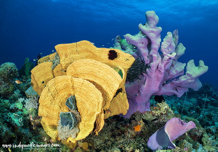
Diving New Britain Island – The Benjamins…
While Bob and Dinah Halstead were the catalyst for bringing Milne Bay and PNG to the attention of the global diving community.
A pair of Australian agronomists in New Britain came to the realization that in their “backyard” was a world-class marine ecosystem!
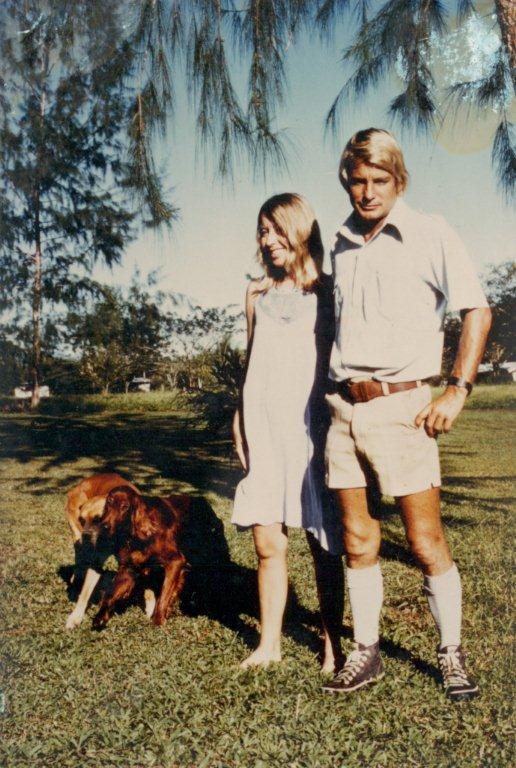
Max and Cecilie Benjamin arrived in New Britain in the late 1960’s on a short-term assignment for the Australian colonial government of the time.
They were actually on their way to a new life in Canada. But all that changed in 1969 when they decided to buy the 800-acre Walindi plantation on the shores of Kimbe Bay.
Casual weekend diving made Max and Cecilie aware that what was underwater in the bay was really quite special. And in 1983 they started Walindi Plantation Dive Resort.
If you go to the town of Kimbe today you will find supermarkets, hardware stores and many other trappings of modern life.
But in 1983 there was virtually nothing, apart from a landing strip left over from WWII… Yet divers started to come to Walindi to experience Kimbe Bay and over time it became clear just how special it really was.
Sadly, Max passed away in July 2020. But Cecilie is still very much a presence at Walindi, with the business now run by their son Cheyne and his wife Emma.
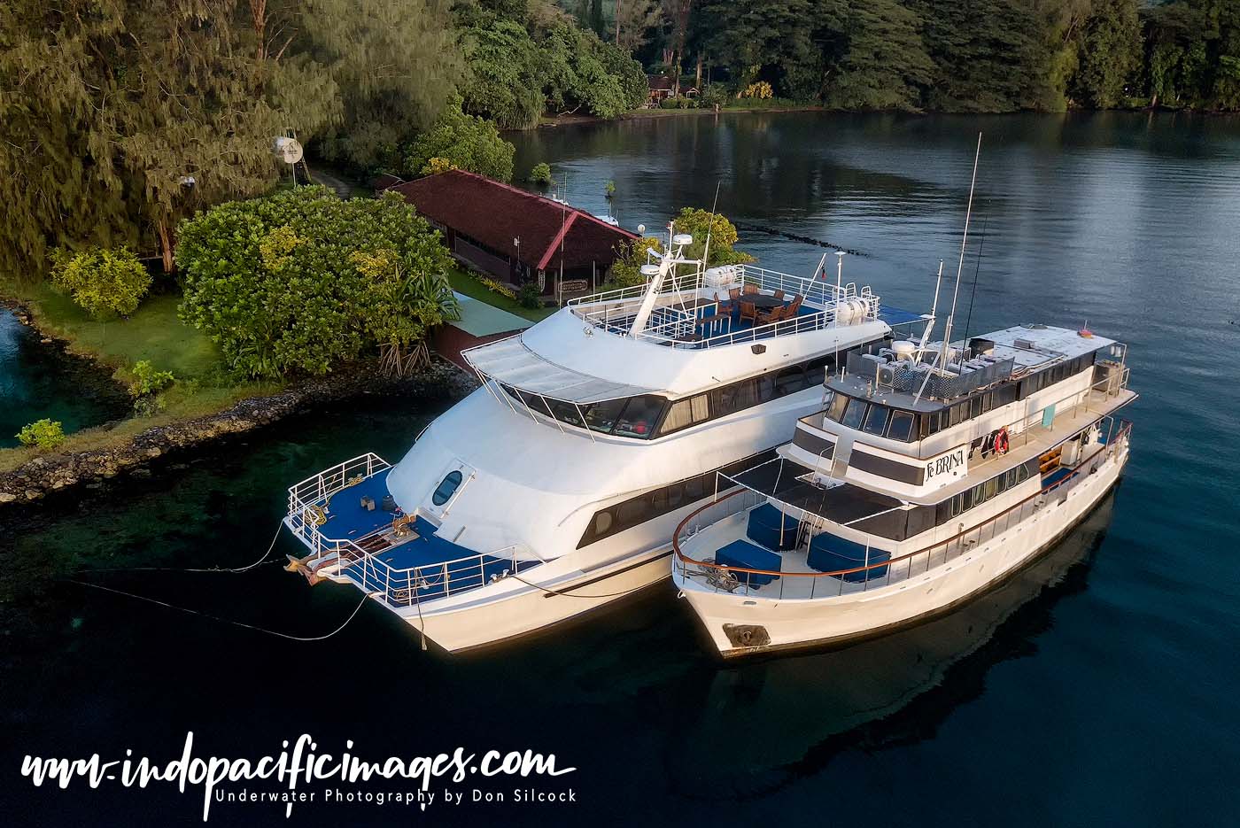
From those humble beginnings in 1983 is a significant resort that focuses on day diving in Kimbe Bay. Together with two liveaboards that cover some of the very best diving around New Britain.
Diving New Britain Island – Location, Location, Location…
Roughly the same size as Taiwan, New Britain has a population of just under 500,000 people.
Which, compared to Taiwan’s 24m people, means that much of the island is uninhabited…
And the main reason for that low population density are those mountain ranges, which are so high (red and white) they effectively isolate the north coast from the south.
Meaning that most of the population live in coastal (green) areas. With the majority concentrated around Kokopo, the capital of East New Britain Province, nearby Rabaul and Kimbe – the capital of West New Britain.
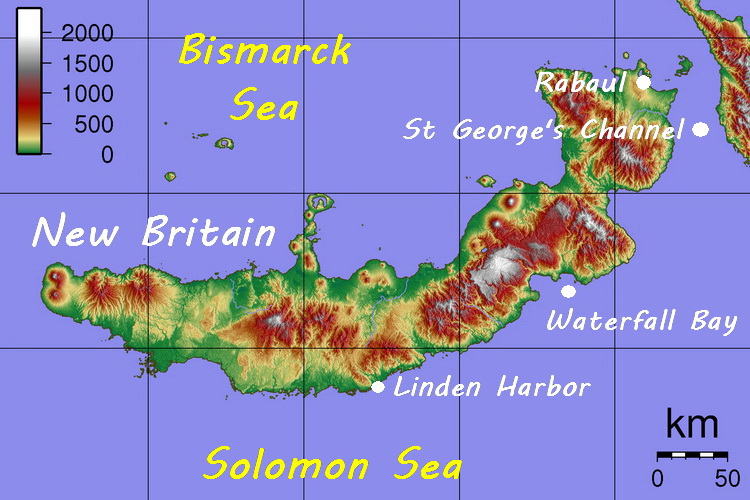
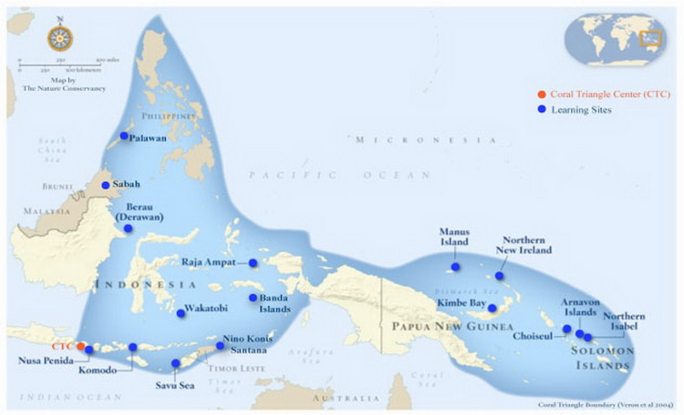
From a biodiversity perspective, New Britain has one of the best possible locations. Physically it is just south of the equator and to the east of PNG’s “mainland” – the eastern half of New Guinea island.
That location puts it in the epicentre of the eastern lobe of the Coral Triangle… The richest known area of marine biodiversity in the world!
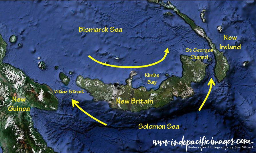
Uniquely though, New Britain is exposed to both the Indonesian Throughflow, as it flows down the north-east coast of New Guinea into the Bismarck Sea. And the Southern Equatorial Current (SEC) as it approaches from the Solomon Sea.
As the SEC nears the south coast of New Britain, upwellings suck up the nitrogen and phosphorous laden detritus from the deep basins of the Solomon Sea.
Those rich nutrients are carried up the south coast and through the Vitiaz Strait and St Georges Channel. Into the Bismarck Sea where they mix with those of the Indonesian Throughflow.
Papua New Guinea’s incredible marine biodiversity is well documented. Less well known though is the intensity of that biodiversity around the island of New Britain, all of which makes for some phenomenal diving!
Diving New Britain Island – The Main Locations
There are three main diving locations in New Britain, starting with incredible Kimbe Bay, together with the Witu Islands and the Father’s Reefs on the north coast.
Then there is Rabaul and Kokopo on the eastern tip of New Britain together with Waterfall Bay and Linden Harbor on the remote south coast.
The North Coast – Kimbe Bay
There is a line of thought among the marine scientific community that this large bay is possibly where the first corals originated. A theory that has evolved as a result of the surveys conducted to assess and quantify the bay’s biodiversity.
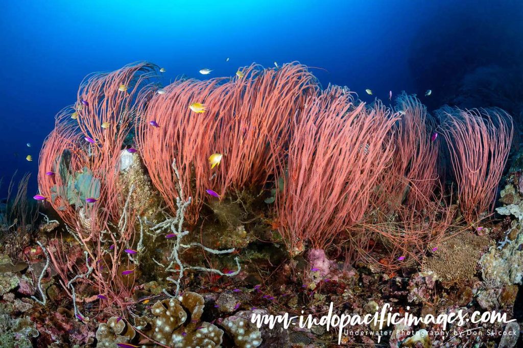
The first of those surveys was done back in 1993 by The Nature Conservancy. Which identified a staggering 860 species of fish together with 345 species of stony corals.
Subsequent surveys have increased the total number of coral species identified to around 400 in addition to 10 species of whales and dolphins that were added to the overall mix!
To put that in a global perspective… In an area roughly the same size as California. It is estimated that Papua New Guinea is home to almost 5% of the world’s total marine biodiversity.
And just under half of that fish fauna and virtually all of the coral species are to be found in Kimbe Bay.
You can use this link to read more about Kimbe Bay and its incredible biodiversity!
The North Coast – Father’s Reefs
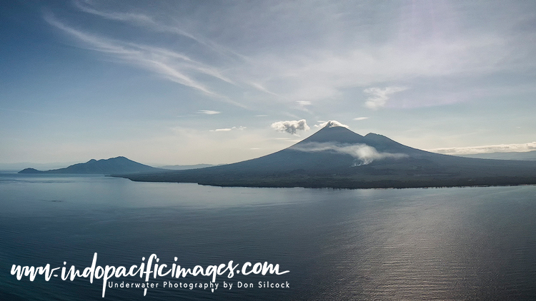
To the north-east of Kimbe Bay are the incredible Lolobau Island and Fathers Reefs. Which offer wonderful diving on seamounts and coral topped pinnacles that rise up from the depths of the Bismarck Sea.
Lolobau is dominated the large volcano on the western rim of the 6km wide caldera that forms the island. And the overall area is directly exposed to the nutrient-rich currents that circulate the Bismarck Sea. Which means those seamounts and pinnacles are very well-nourished and able to sustain their own eco-systems.
There are numerous sites to pick from in the overall area and some 14-16 of them are dived regularly. But only by liveaboard… You can use this link to read more about Lolobau Island and the Father’s Reefs
The North Coast – Witu Islands
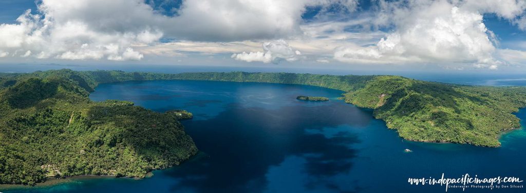
These remote islands in the Bismarck Sea are actually the peaks of subsea volcanoes that rise up from the deep surrounding waters. They are visually spectacular – particularly Garove, the main island of the group. Which is the caldera left after a major eruption some 250 years ago. Roughly 12km wide, Garove is an impressive site when viewed from the air (courtesy of a drone).
The caldera’s crater is about 5km wide and surrounded by 100m to 150m high walls. Which are breached on the southern side of the island and the flooded crater forms a superb natural harbor.
The diving at the Witu’s falls in to two basic categories… Classic but glorious fringing reefs and interesting black volcanic muck!
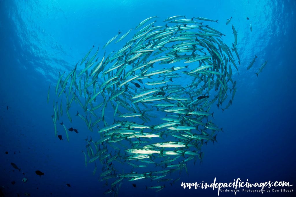
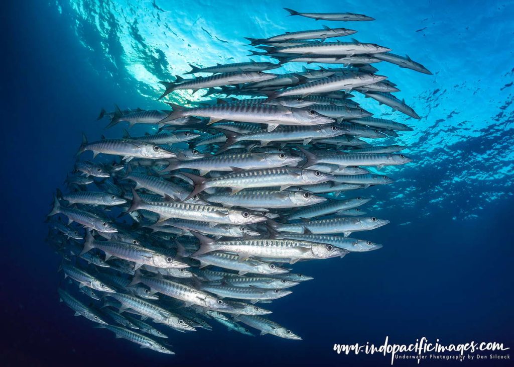
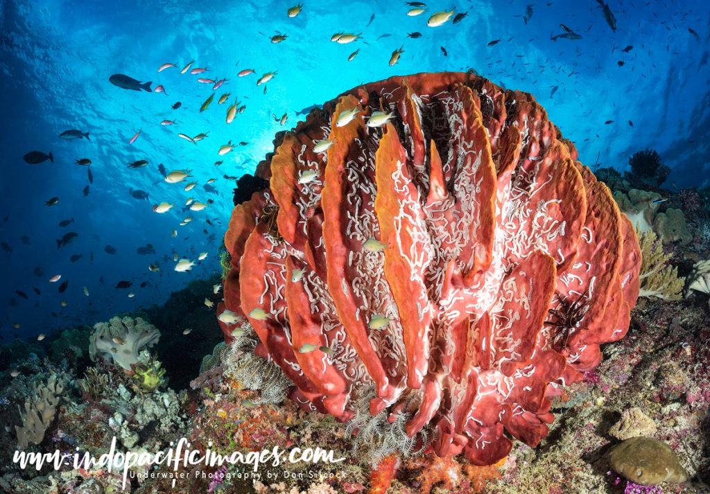
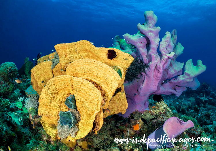
The tops and sides of the reefs have dense coatings of beautiful, healthy hard corals. Which host a plethora of reef fish together with superb photogenic sponges, sea fans, anemones and soft corals. Out in the blue are schooling jacks, barracuda and batfish, plus patrolling grey reef and white tip sharks that hang back in the distance.
The massive explosion that created the huge caldera on Garove Island also deposited rich volcanic ash which has created habitats for critters to thrive in the black sand. There is much to keep macro photographers happy at the Witu’s!
You can use this link to read more about the wonderful Witu Islands.
East New Britain – Rabaul
Once upon a time the town of Rabaul had almost everything a diver could possibly want. With some 65 Japanese WWII wrecks in and around magnificent Simpson Harbor in the calderas formed after a mega volcanic eruption some 1400 years ago.
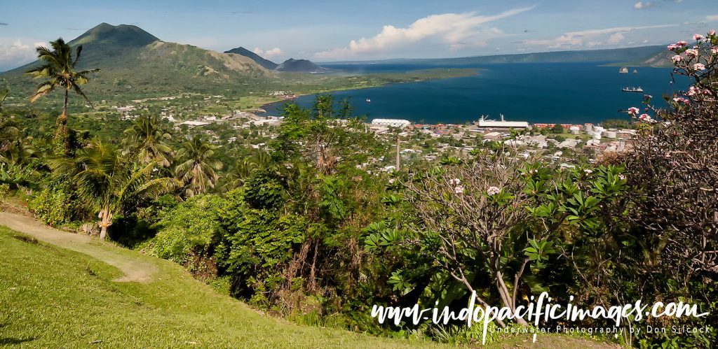
Plus some excellent reefs, a couple of great macro sites and the town itself. Which was often described as the “garden city” of PNG with a resident population of around 20,000!
Then in September 1994 everything changed when two of the seven volcanic vents around the caldera erupted!
The dual eruptions destroyed the nearby airport and covered the eastern half of Rabaul with heavy volcanic ash. Causing most of the buildings to collapse under the weight.
Kokopo in Blanche Bay subsequently became the provincial capital. With a new airport built at Tokuo and Rabaul largely left to whither on the vine… But time heals many things and as the years have passed the coral growth returned.
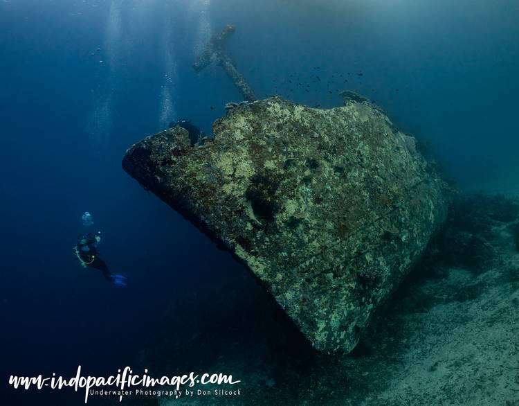
And some of those wrecks are now well worth diving again. Plus the macro sites are as good as they always were. And there is the excellent Atun wreck which sits on its keel in 21m near Little Pigeon Island at the eastern entrance to Blanche Bay.
You can use this link to read more about diving Rabaul.
The South Coast – The Secret Place…
Truly a remote location! The south coast of New Britain is isolated from the north coast by those rugged mountain ranges. With no real roads over or through them and no commercial airports. Only landing strips and old WWII airfields that are used for small charter flights.
Practically, the only way to get to the south coast is by boat from Rabaul, on the eastern tip of New Britain. A long, typically overnight, journey that will take you down through the St George’s Channel in between New Britain and nearby New Ireland.
That channel needs to be navigated with respect… As there are some fierce and complex currents flowing through it!
The South Coast – Waterfall Bay
This large bay is the first dive location you will reach after passing through the St George’s Channel. There are two main areas to dive in Waterfall Bay… The Mocklon Islands on the western tip, near Cape Kwoi, and around the jetty at the village of Matong. Both offer quite different, but really interesting experiences.
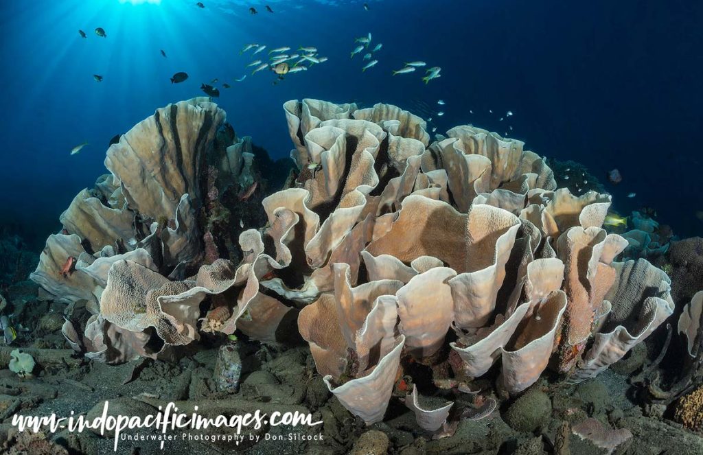
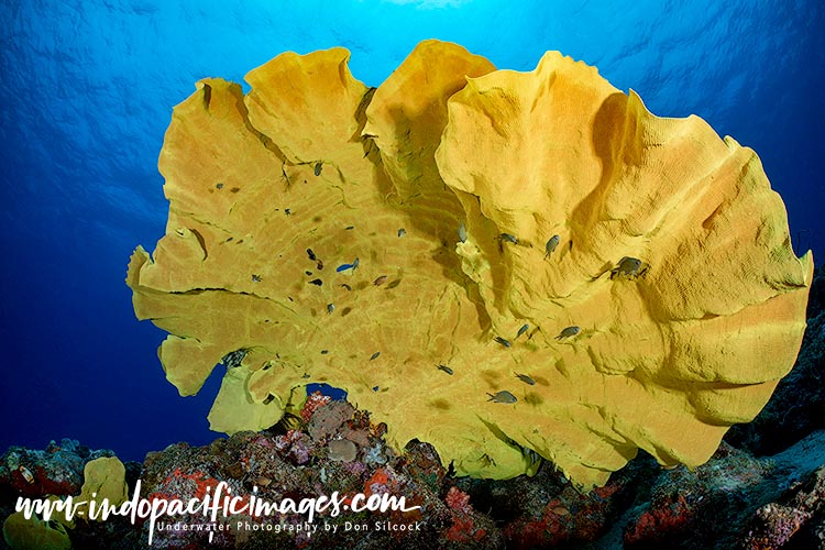
The two Mocklon Islands, one large and one small, have a number of sites to try. And which one you dive on depends on the time of day and the prevailing current. But overall the diving is very nice with a healthy fringing reefs and sandy slopes with intense patches of cabbage and other hard corals.
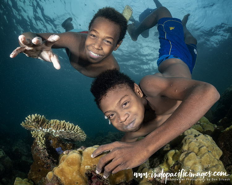
While the jetty at Matong offers you two choices… There are lots of critters in and around all the flotsam and jetsam at the jetty. Alternatively, you can take advantage of all the young models super-keen to have their photos taken underwater!
The South Coast – Linden Harbor

Located roughly half-way along the south coast of New Britain is this superb dive location!
Bounded by a series of outer barrier reefs. The inner lagoon at Linden Harbour provides a safe anchorage in a fantastic setting.
In between those reefs, are incredible channels that offer some of the best diving on the south coast.
Add in some excellent reefs inside the lagoon. Plus a WWII aircraft wreck and you can see why Linden Harbour rates so highly.
You can use this link to read more about the remote south coast of New Britain.
Diving New Britain Island – How to get There
Port Moresby is the only international gateway in to PNG and is well served by Air Nuigini and Qantas from Brisbane and Cairns.
New Britain has two regional airports – Hoskins (HKN) in Kimbe and Tokua (RAB) to the east of Kokopo. Both of which are served by Air Niugini from Port Moresby.
Diving New Britain Island – In Summary…
Located as it is in the heart of the Coral Triangle the island of New Britain has some amazing diving and is a visually spectacular place.
The wonderful locations on the north coast around Kimbe Bay, the Father’s Reefs and the Witu Islands are simply fantastic. While Rabaul, on the eastern tip of the island, provides a really interesting alternative to the north coast.
Then, if you want to add a generous dose of adventure with your diving, look no further than the remote south coast! In a country that has so much to offer the traveling diver, New Britain is truly another of Papua New Guinea’s very special places!
Diving New Britain Island – Scuba Diver Article
The Australian edition of Scuba Diver magazine recently published a five page article of mine on Diving New Britain Island in PNG. You can use the link to download a PDF copy of the article.
