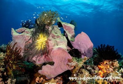
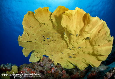
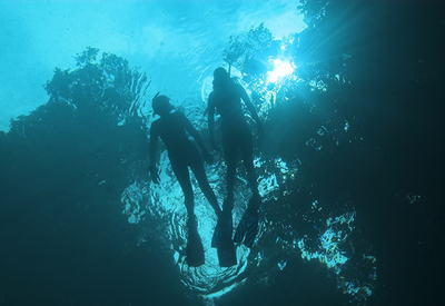
South Coast New Britain – probably the most remote diveable location in PNG… The large crescent shaped island of New Britain is the largest of the 600+ islands that make up the incredible country that is Papua New Guinea.
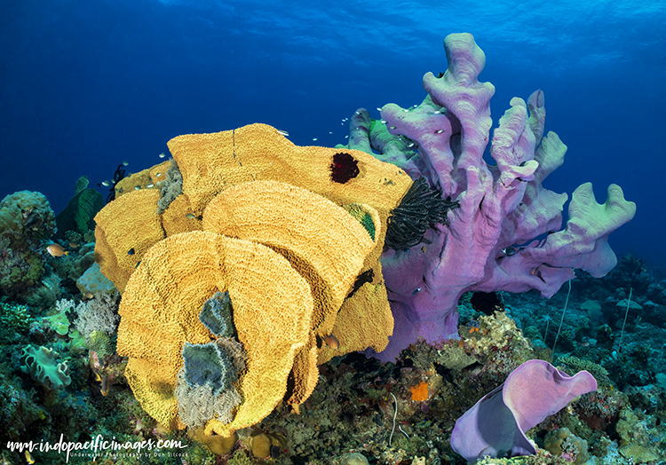
Roughly the same size as Taiwan, New Britain sits along the southern ridge of the volatile Pacific Ring of Fire. Just a few degrees south of the Equator.
The island is defined by the incredibly high mountain ranges that run down its spine. Together with its many volcanoes…
So high are those mountains, they create separate and independent weather systems on the north and south coasts of the island. With the south having some of the highest annual rainfall in the world.
New Britain’s location puts it right in the middle of some of the world’s richest water flows.
With the deep basins of the Solomon Sea to the south, swept by the Southern Equatorial Current. While to the north the incredible Indonesian Throughflow brings its nutrient rich waters in to the Bismarck Sea.
It all makes for some amazing diving around Kimbe Bay, the Witu Islands and the Fathers Reefs in the north and Rabaul to the east. Less well known though is the south. Because only two boats ever go there – truly a secret place…
South Coast New Britain – A Guide to the Secret Place…
New Britain’s Remote South Coast
New Britain South Coast – truly a remote location… Isolated from the north coast by high and rugged mountain ranges. With no real roads over or through them and no commercial airports. Only landing strips and old WWII airfields that are used for small charter flights. Practically, the …
Diving Linden Harbour
Diving Linden Harbour… Located roughly half-way along the south coast of New Britain is this gem of a dive location! Bounded by a series of outer barrier reefs, the inner lagoon at Linden Harbour provides a safe anchorage in a superb location. And, in between those reefs, are incredible …
Diving Waterfall Bay
Diving Waterfall Bay… This large bay is one of the two main locations for diving on the south coast of New Britain. With the other being Linden Harbor further down the coast to the south-west. Both offer some similar things – excellent diving in remote locations with just enough …
Diving the Blue Hole
Diving the Blue Hole… Running down the spine of New Britain island are a series of incredible mountain ranges. They are so high, and so densely covered in primary rain-forest, they almost completely isolate the north coast from the south. The highest, most impenetrable and probably most …
Back To: The Complete Guide to Diving New Britain

